Algonquin Road Trail - Photos 2
Peregrine Lake to Euclid
(click on any of the bike trail photos to enlarge)
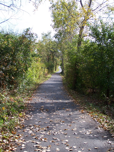
When you get out of the woods you start the straighter part of the trail that heads south towards Euclid and Harper College and between 2 businesses with large sections of land.
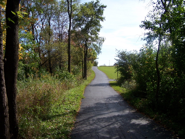
This is a pretty steep hill with the SquareD offices and land off to the right and a company called Trace labs on the left. The sign for SquareD originally only had them listed but it now says Schnierer Electric along with SquareD (I don't really know if they are the same company or if one owns the other). Regardless, they also have about a dozen or so solar panels to the right as you go up this hill. I don't know how much electricity this may generate but it is an interesting site along this part of the trail.
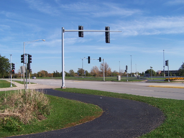
This is where you approach Euclid on the north side of Harper College. The light can help crossing Euclid but I often just cross just before the light since you can cross the westbound lanes then use the left turn lane into Trace (which is almost never used) to wait until it is clear to cross the east bound lanes. This also avoids dealing with the traffic going in and out of Harper. Of course, you need to use judgement and make your own decisions as to how you prefer to cross. I always had my kids cross at the light and wait for the walk sign when they were younger.
They created this new bike path on the left a while ago, which goes a short distance east on Euclid. You can actually get to the Walgreens and Chase bank (at the corner of Euclid and Quentin from the path on the left). The main trail is on the right and goes around Harper College.
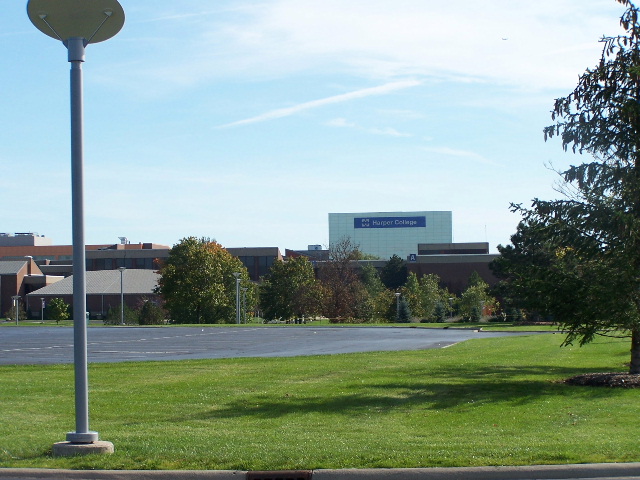
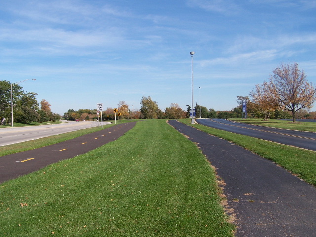
This is the view of Harper College as you ride around it on the north end. They have actually changed the roads that go around Harper since this photo was taken but the buildings still look the same (for now).
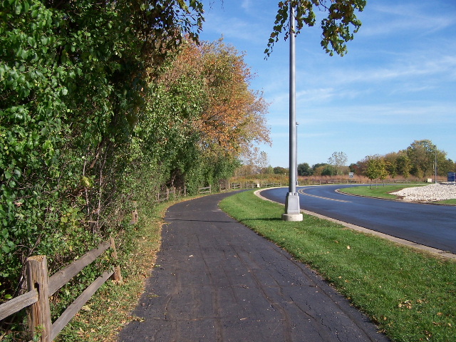
This is a narrow part of the trail between the woods on the left and the Harper road on the right.
The Algonquin Road Trail Photo Tour - From Peregrine Park in Palatine to Penny Road, South Barrington, Illinois - October, 2006.
Algonquin Road
Trail Photos 1 - From Peregrine Park, Palatine
Algonquin Road Trail Photos 2 - Peregrine Lake to Euclid < You are here
Algonquin Road Trail Photos 3 - Path Around Harper College
Algonquin Road Trail Photos 4 - Along Algonquin Road to Ela
Algonquin Road Trail Photos 5 - North of Paul Douglas Woods
Algonquin Road Trail Photos 6 - Paul Douglas Woods to Crabtree
Algonquin Road Trail Photos 7 - Algonquin Road to Barrington Road
Algonquin Road Trail Photos 8 - Barrington Road to Penny Road
Algonquin Road Trail Photos 9 - Penny Road and through Crabtree
The photo tour below is the new Paul Douglas Loop from early spring of 2009. The trail had just been completed but the grass on the shoulders of the trail had not come in yet (it looks greener and nicer now).
Paul Douglas Trail Photos 1 - Starting at Roselle and Algonquin
Paul Douglas Trail Photos 2 - To Grassy Ridge Meadow
Paul Douglas Trail Photos 3 - Grassy Ridge Meadow to Huntington
Paul Douglas Trail Photos 4 - Freeman Road north to Algonquin RdThe Ride is the Destination